What is a digital Land survey?
Digital survey is a modern technology-based land surveying method that uses various digital equipment and software to measure land, draw maps, and collect information accurately. In this method, the boundaries, elevation, contours, surrounding infrastructure, and the land’s natural elements are determined using technologies such as total stations, GPS, drones, AutoCAD, etc. Digital surveys can be used to compare the location of the land with the mouza map, which plays an important role in land distribution, ownership determination, construction planning, and land development.
Why need a Digital Land survey?
Construction planning and layout design: A Digital survey is essential for accurate layout design before constructing a house or other structure. It reduces errors during construction and saves costs.
Contour determination:
A contour survey is done to determine the height and slope of the land, which is helpful in land development and drainage planning.
Determining the amount of soil cutting or filling: Digital survey helps in determining the need for filing or cutting of land, which is important in project planning.
Matching with the mouza map: Through the digital survey, the location of the land can be seen in comparison with the mouza map, which helps determine the ownership and location of the land.
Collection of information about the surrounding infrastructure: Digital survey is effective in determining the location of roads, trees, electricity poles, etc., around the land.
Detailed information: Detailed information about the land can be obtained by creating three-dimensional models and other data When should a digital survey be done?
Before buying or selling land 
Before starting construction work
In case of disputes over land boundaries
During land development or planning
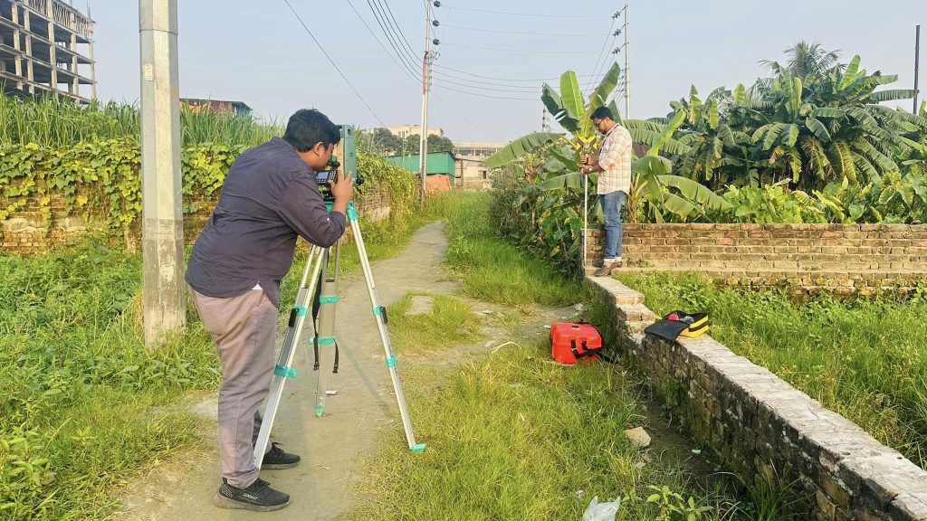
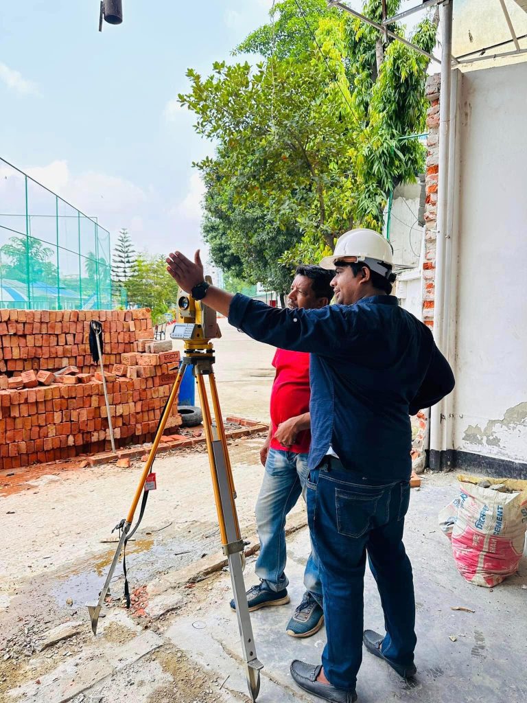
How does a total station work?
(Total Station) It is a modern electronic device that is made up of a theodolite, electronic distance measurement (EDM), and a microprocessor. It is a very accurate and effective device for land surveying. Below is a step-by-step explanation of the method of land surveying using a total station:
Steps of land surveying (Using Total Station): Preparation: Installation of the device: The total station is installed on a tripod at a specific location after identifying the survey area.
Leveling and Centering: The device is placed horizontally and centered at a specific point.
Coordinate input: If there is a point known in advance, its coordinates are input.
Prism reflector installation: The prism is installed at the points where the instrument readings are to be taken by going around the survey area. The prism measures the distance and angle by communicating with the total station.
Data Collection:
The laser emitted by the total station reflects off the prism, enabling the device to ascertain the following parameters the Distance Angle Elevation/Height of each point
Coordinate Calculation: The X, Y, and Z coordinates of each point are calculated. A specific map or design of the entire area can be created from these coordinates.
Data Storage: The collected data is saved in the memory of the total station, which is later transferred to a computer and analyzed in CAD or GIS software.
Advantages of using a total station:
1.High Accuracy
2.Work can be completed quickly..
3.Data is available digitally.
4.Easy to create maps and designs
Areas of use:
Land measurement
Road design and construction
Building construction plans
Bridge construction projects
Large land development projects
Advantages of Digital Survey Higher accuracy:
The use of electronic devices minimizes the likelihood of measurement inaccuracies.
Speed: Survey work can be completed in less time compared to traditional methods.
More tasks can be accomplished with fewer personnel and in a shorter amount of time.
Detailed information: Detailed information about the land can be obtained by creating three-dimensional models and other data
Digital land survey cost:
Survey cost cannot be said accurately like this, it completely depends on the work and what kind of service you are taking.
Low Cost:
Topographical Survey, Area Survey, Volume Calculation, Level Survey, Also
If you do a digital survey just to pass the design and plan, then your cost will be less.
For example:
Between 1 and 5 decimal places, 5000 taka
Between 1 and 6 decimal places, 6000 taka
Between 1 and 7 decimal places, 7000 taka
It will increase gradually like this.
High Cost:
Layout Survey
RTK survey
Drone survey
Mouza Map survey
Road Survey
Khal Survey
As- Build survey
Hydrographic Survey
These types of jobs will cost more, as they take more time and require precision.